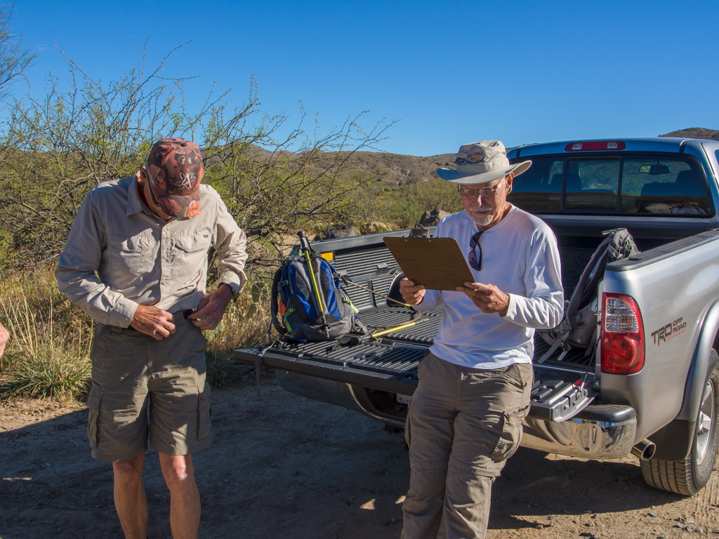
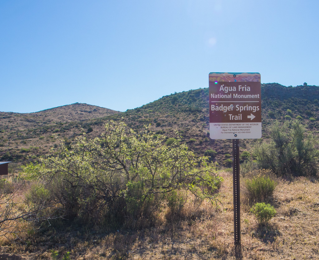
1 BADGER SPRINGS |
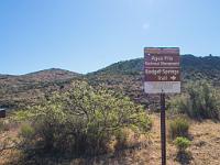 2 This wilderness area contains the headwaters of the Agua Fria River, which flows down through the west side of Phoenix |
 3 |
 4 |
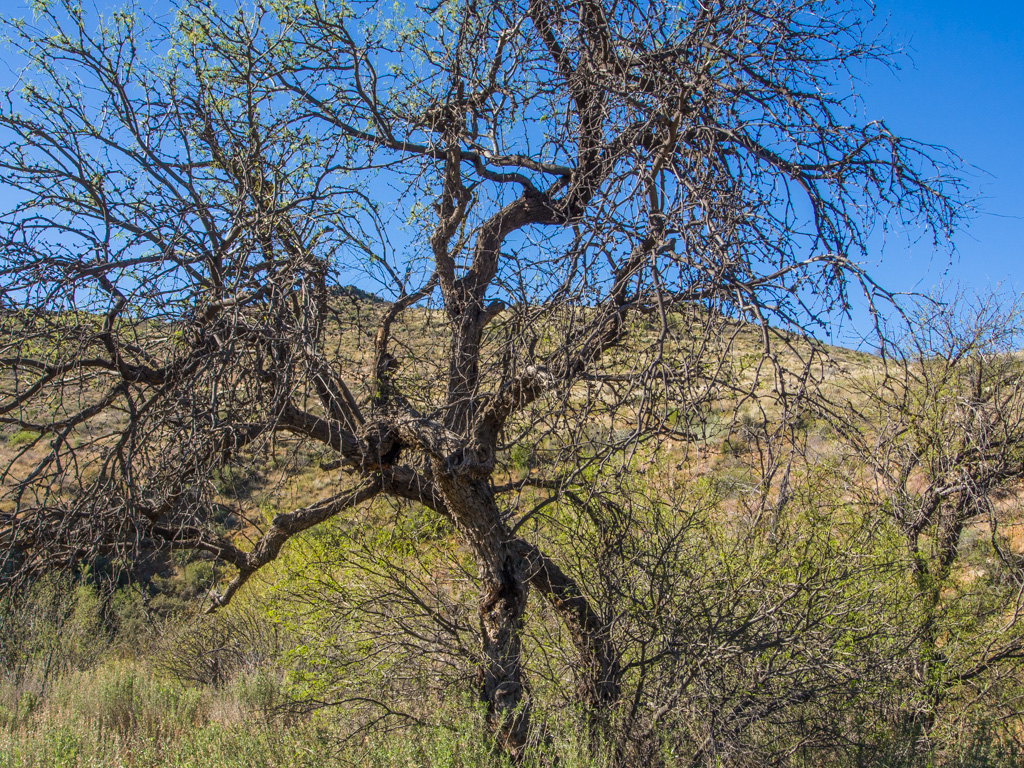
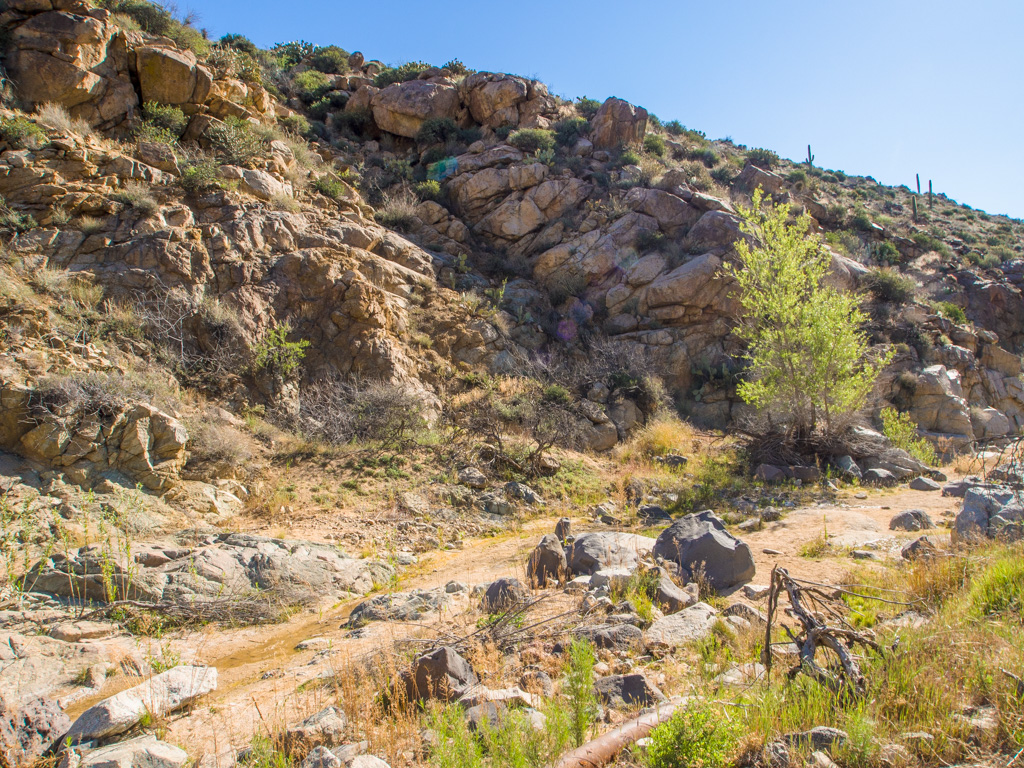
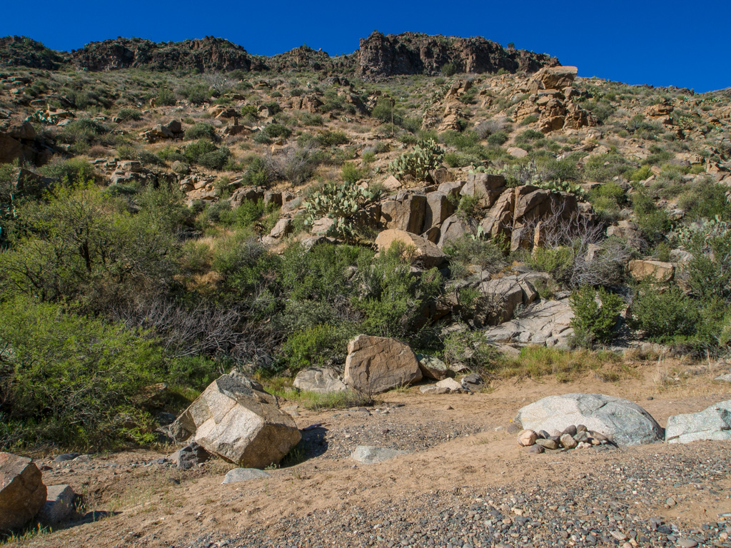
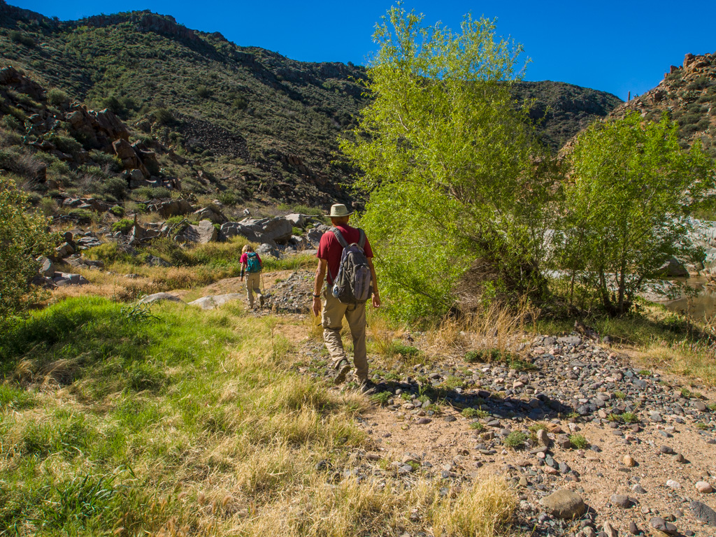
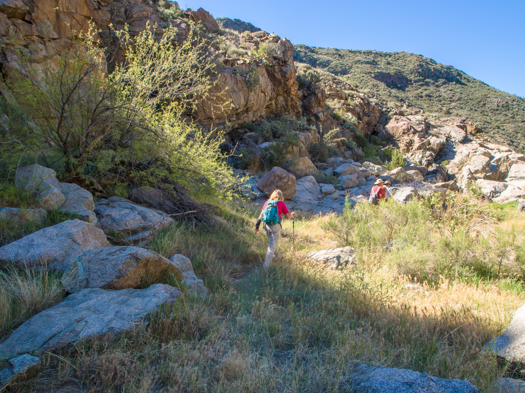
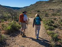
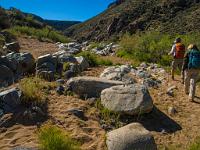
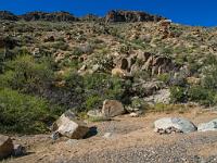
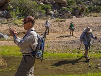
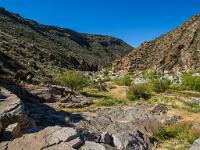
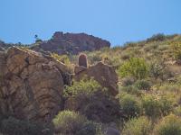
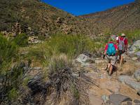
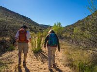 5 The trail starts at 3000 ft, just above the saguaro and cholla of the desert lowlands. The first part of the trail is open and sandy. |
 6 |
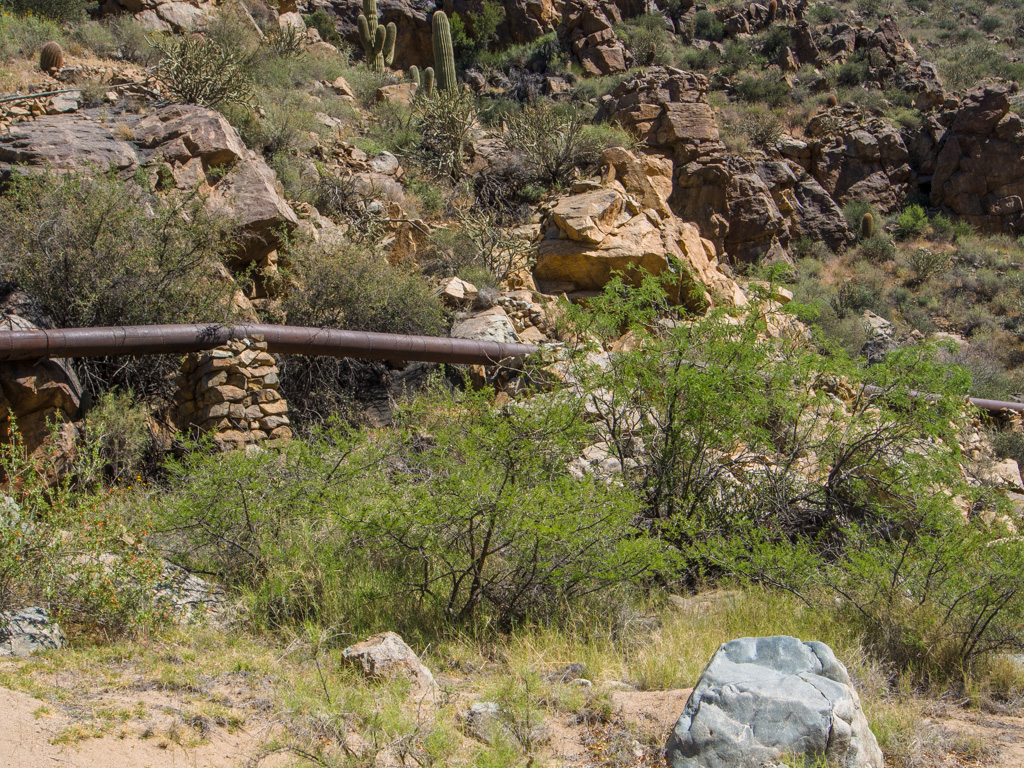
 7 Old mine pipe |
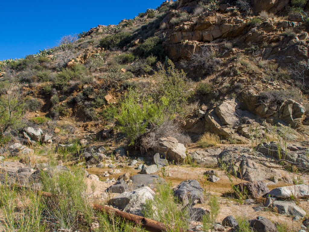
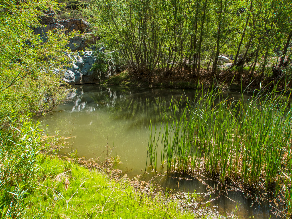
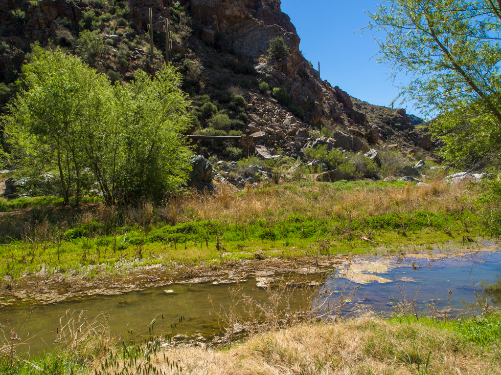
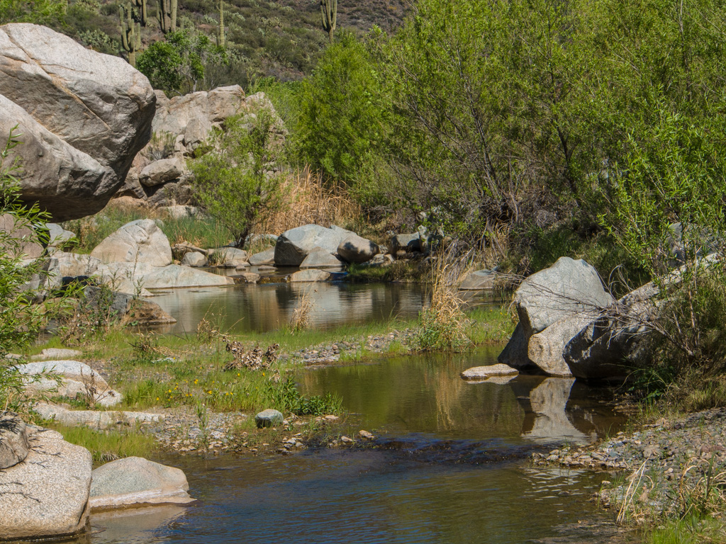
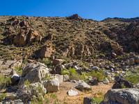
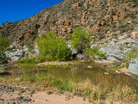
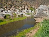
 8 Badger Spring comes out in this area, giving the Agua Fria its first perennial water |
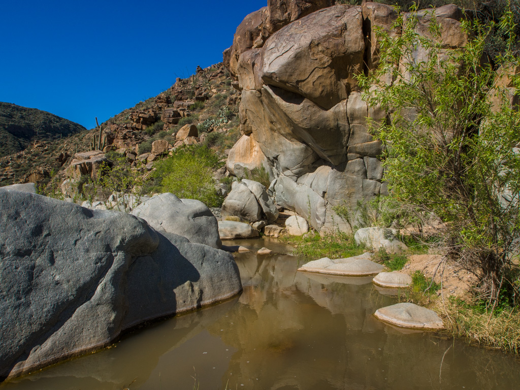
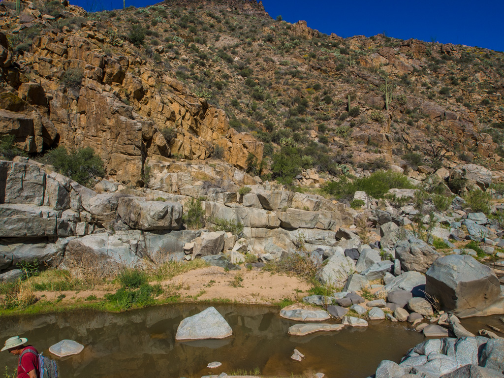
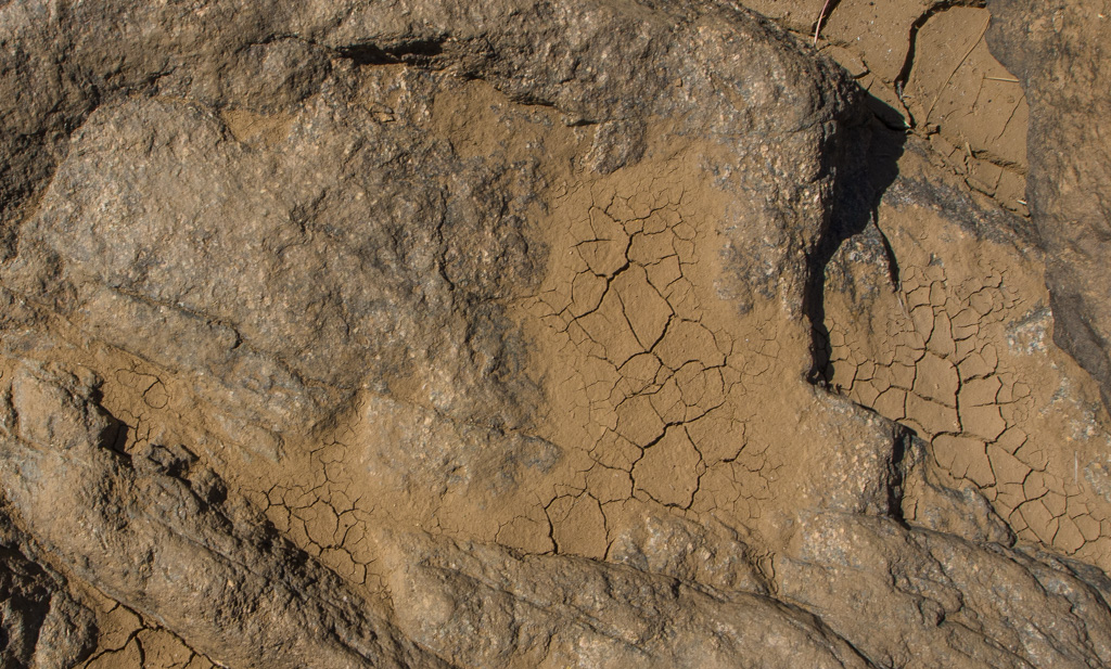
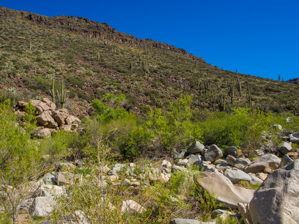
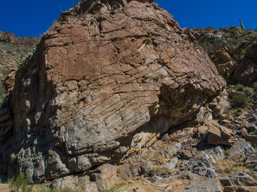
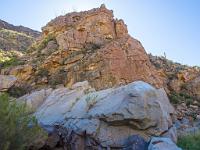
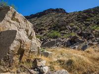
 9 The geology here is granite and basalt, with none of the sandstone and limestone of the Sedona area |
 10 |
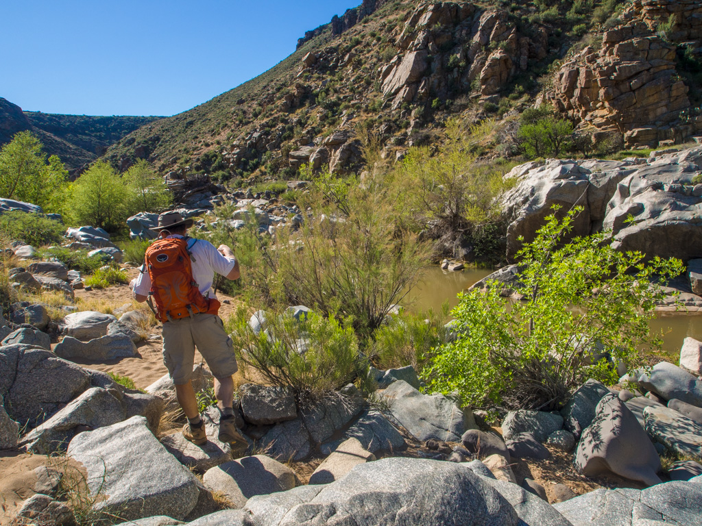
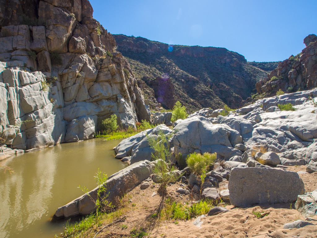
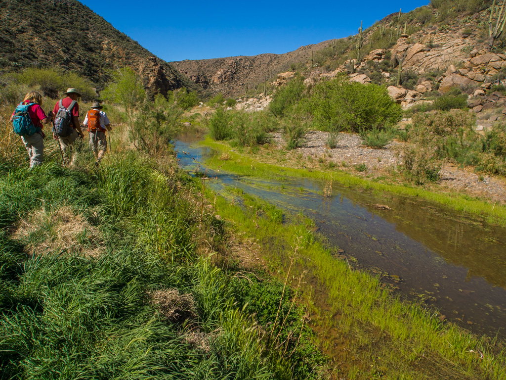
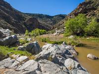
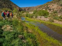
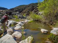
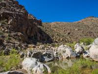
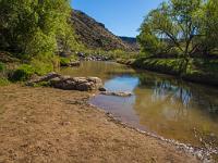 11 Our first sight of the Agua Fria. Badger Springs water is supplemented by runoff from the Mayer/Cordes Junction area. |
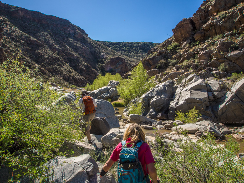
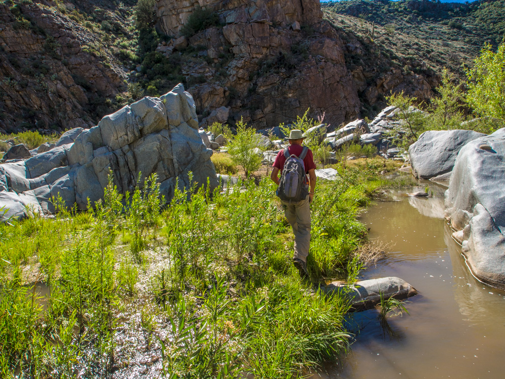
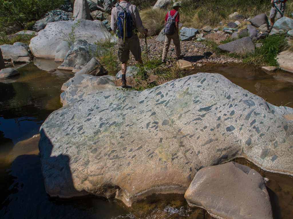
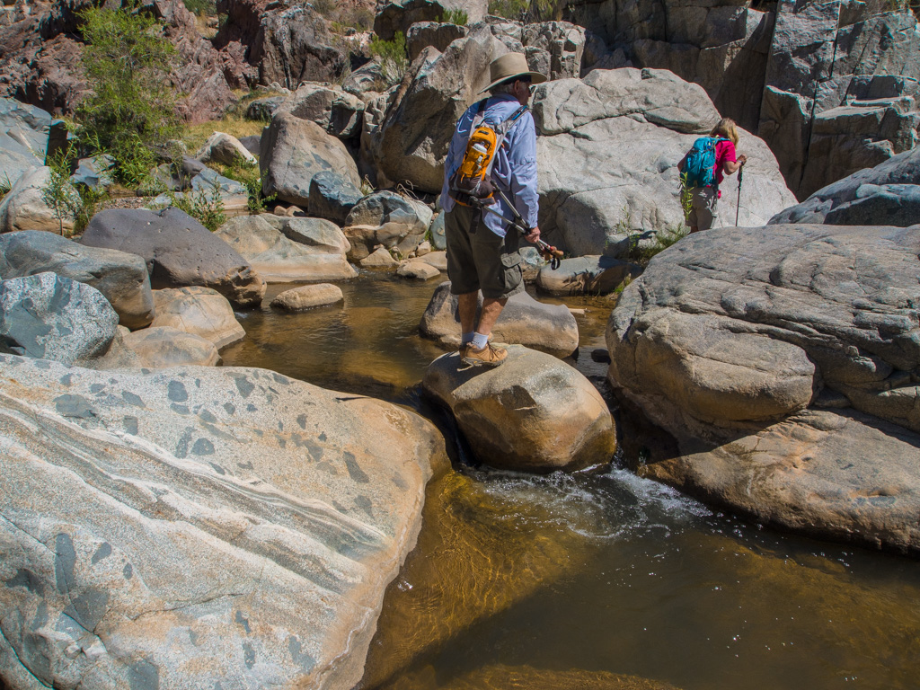
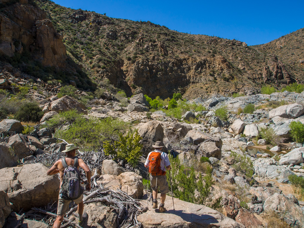
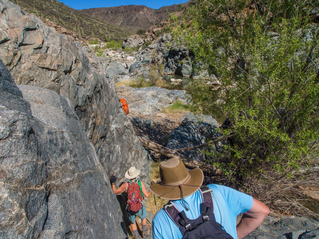
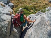
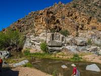
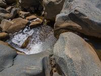
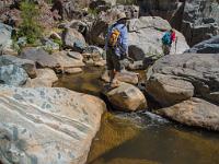
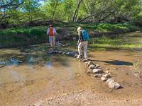 12 The first of our many crossings of the stream |
 13 |
 14 |
 15 |
 16 |
 17 |
 18 |
 19 |
 20 |
 21 |
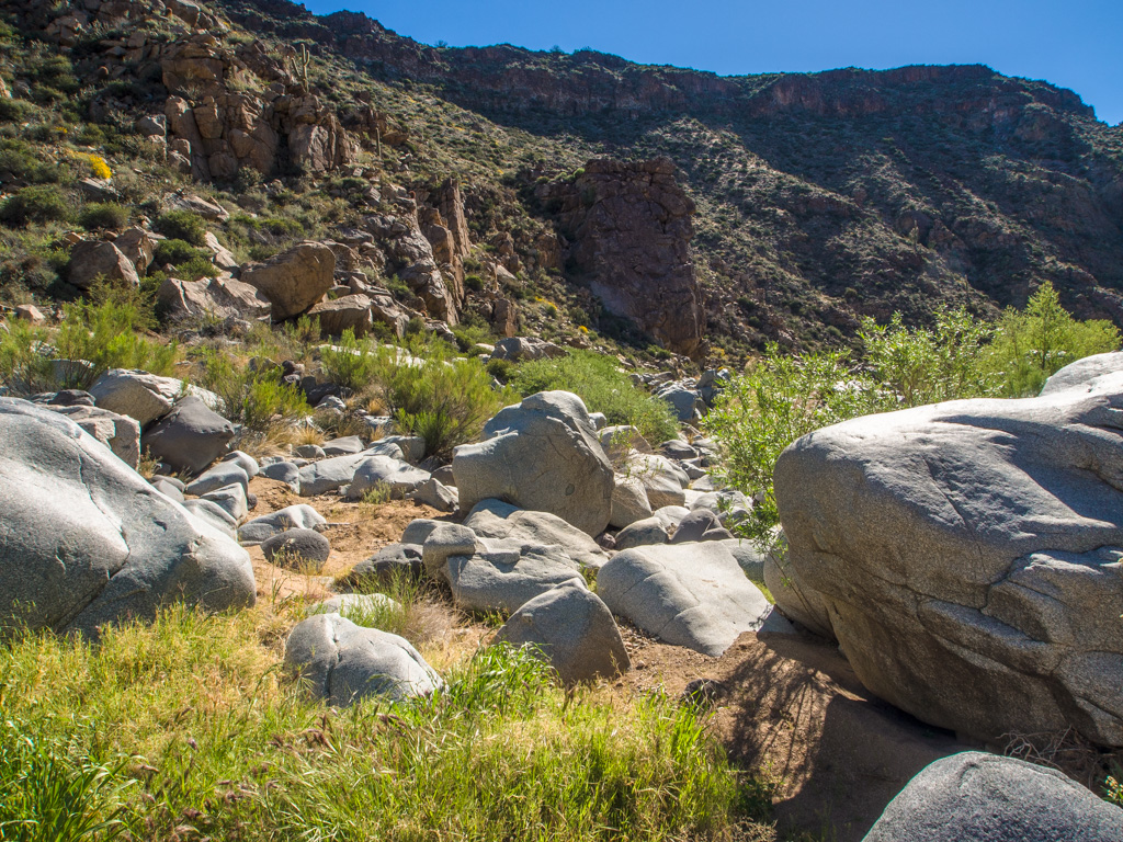
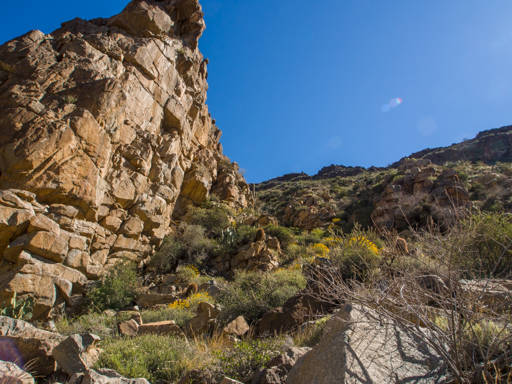
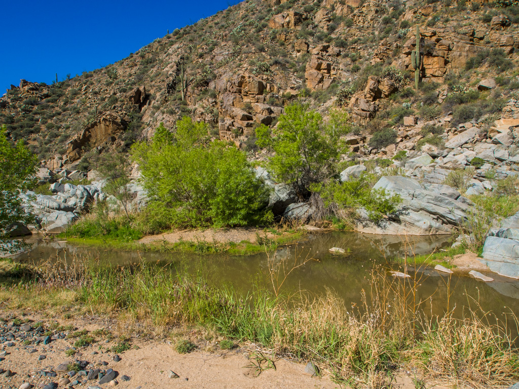
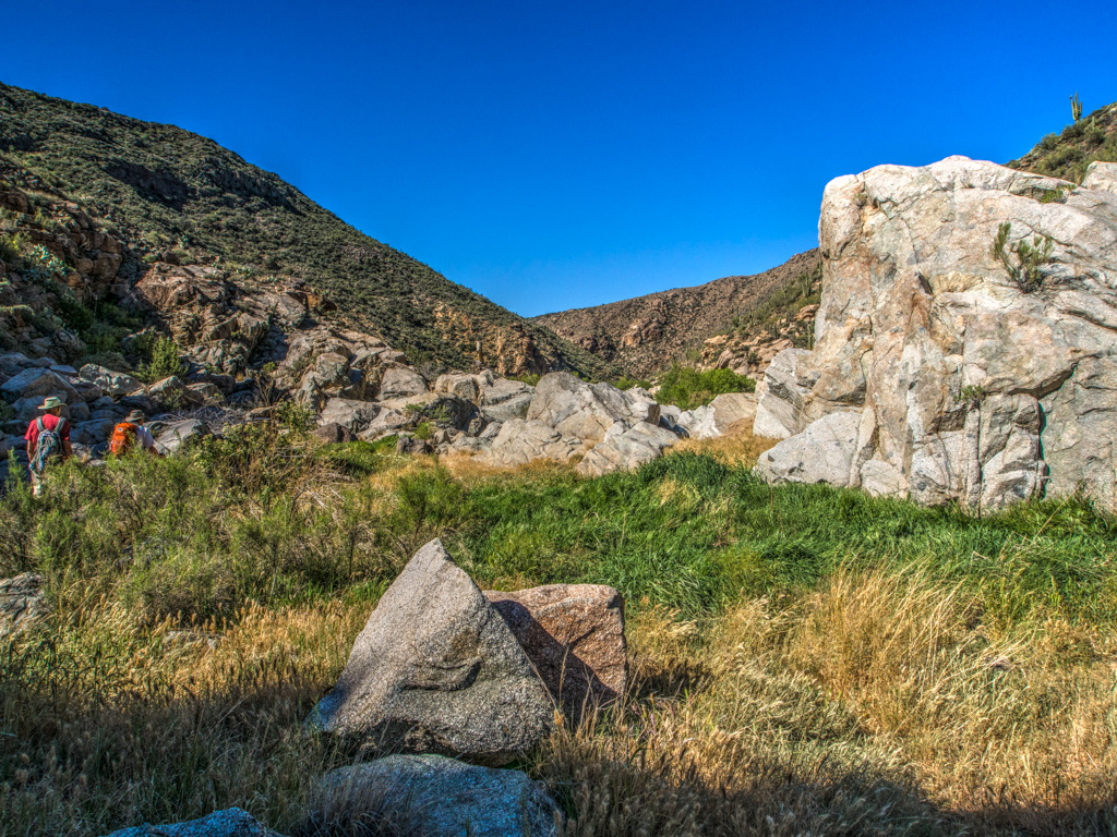
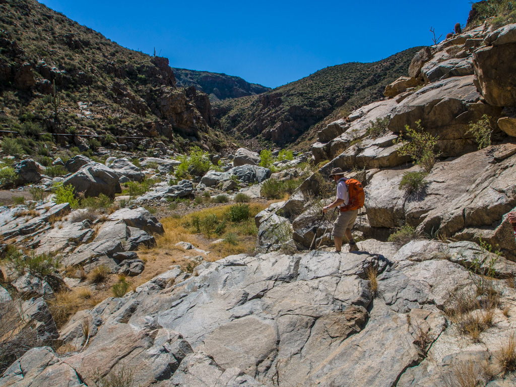
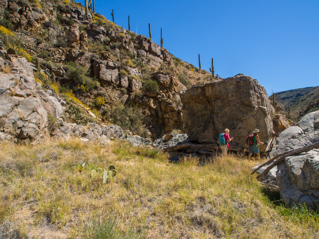
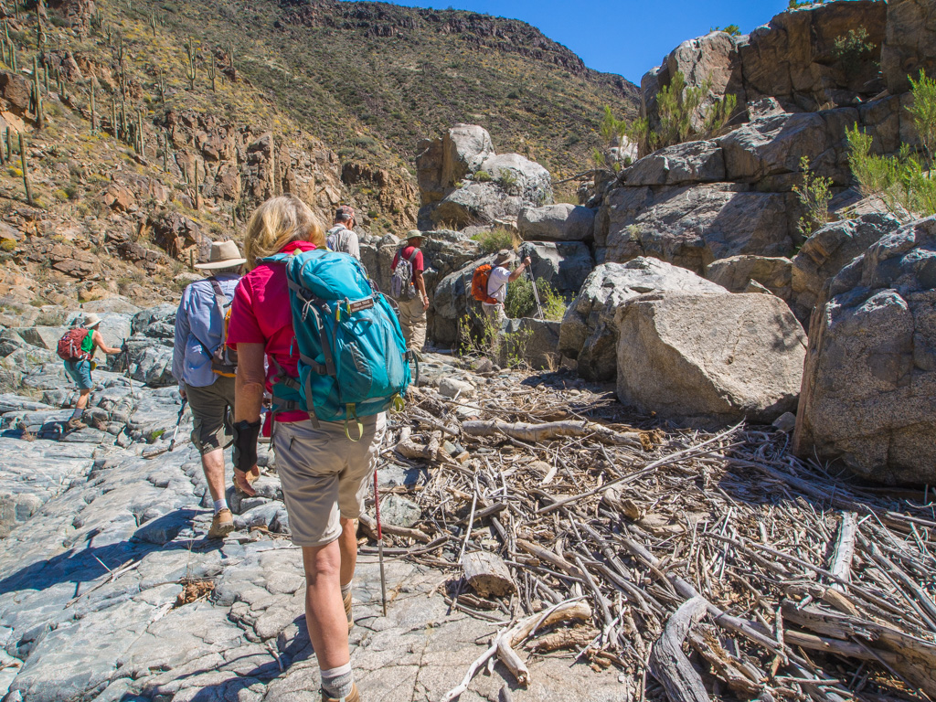
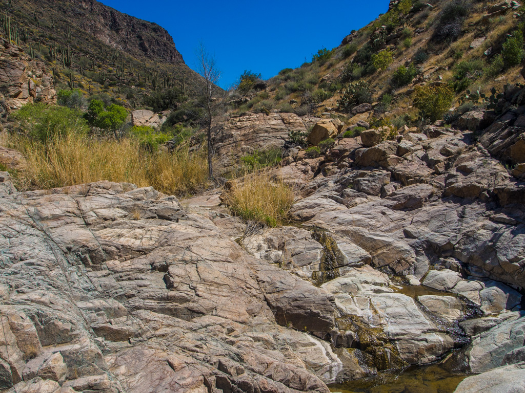
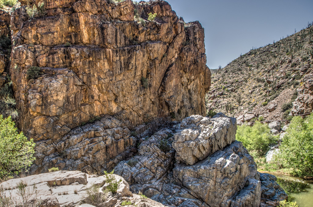
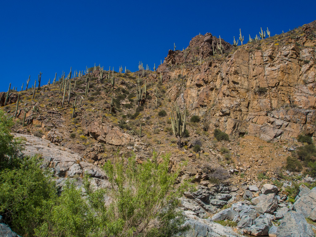
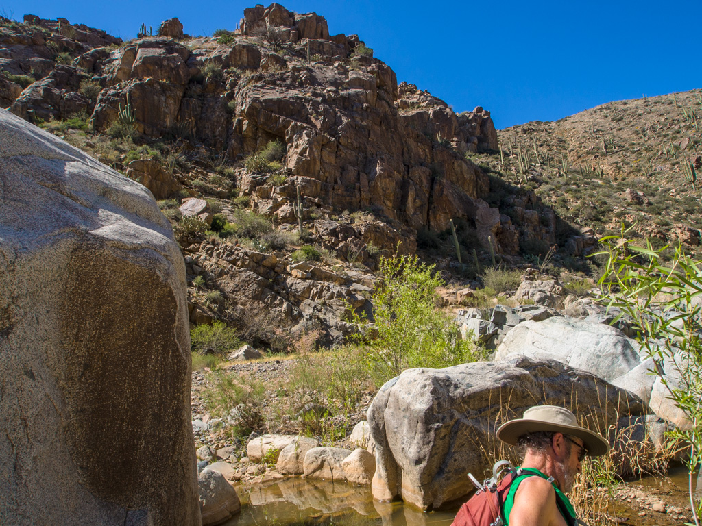
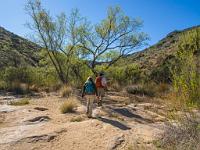
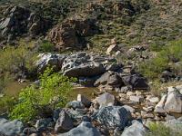
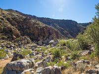
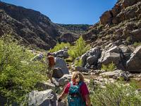
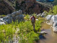
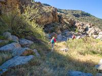
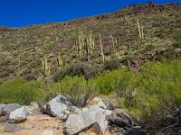
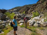
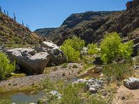
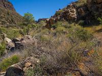
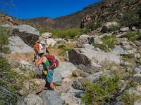
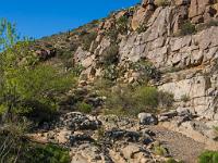
 22 As we descend along the Agua Fria, we come into the narrow saguaro cactus zone |
 23 |
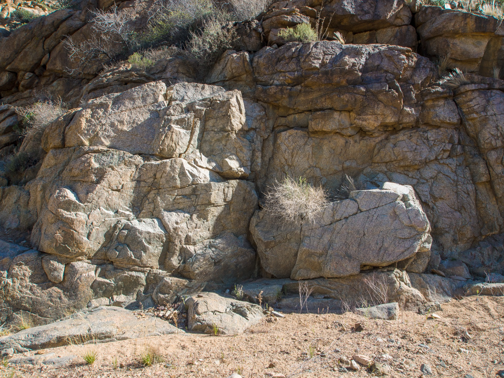
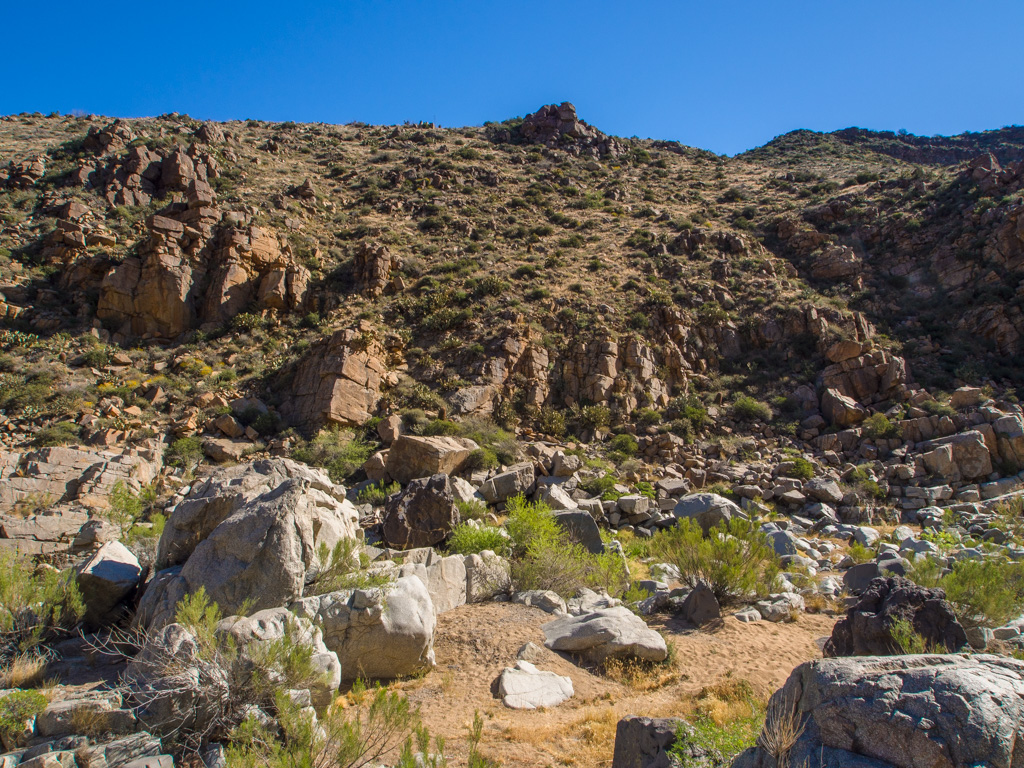
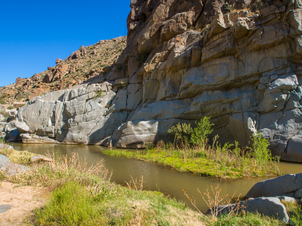
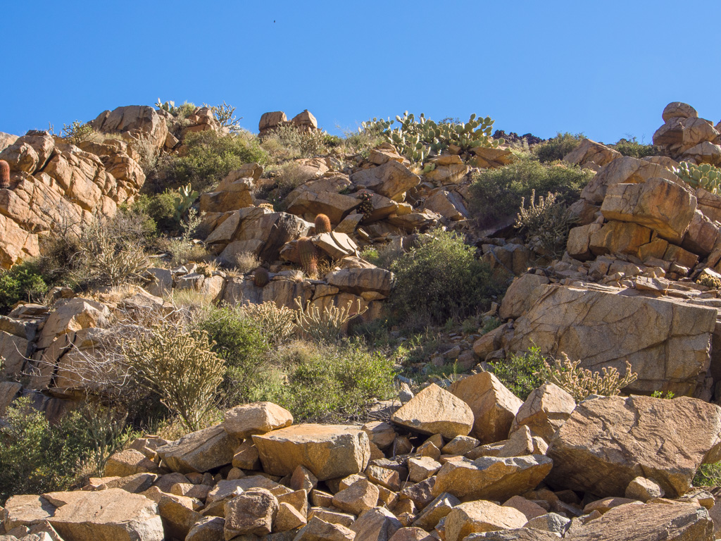
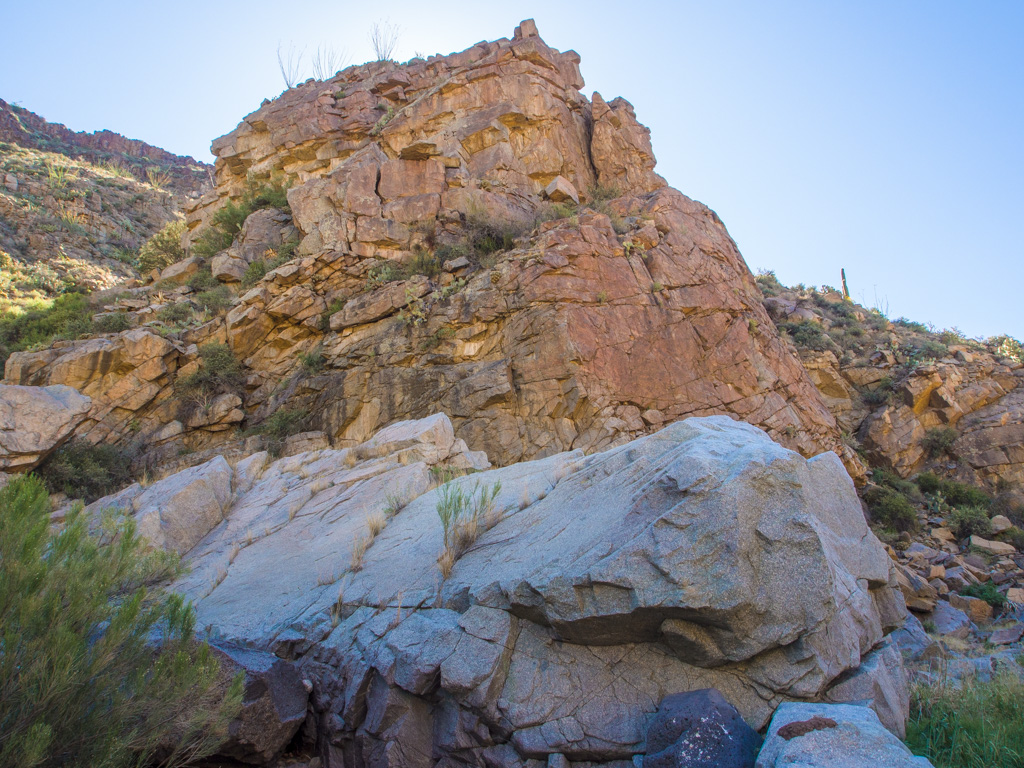
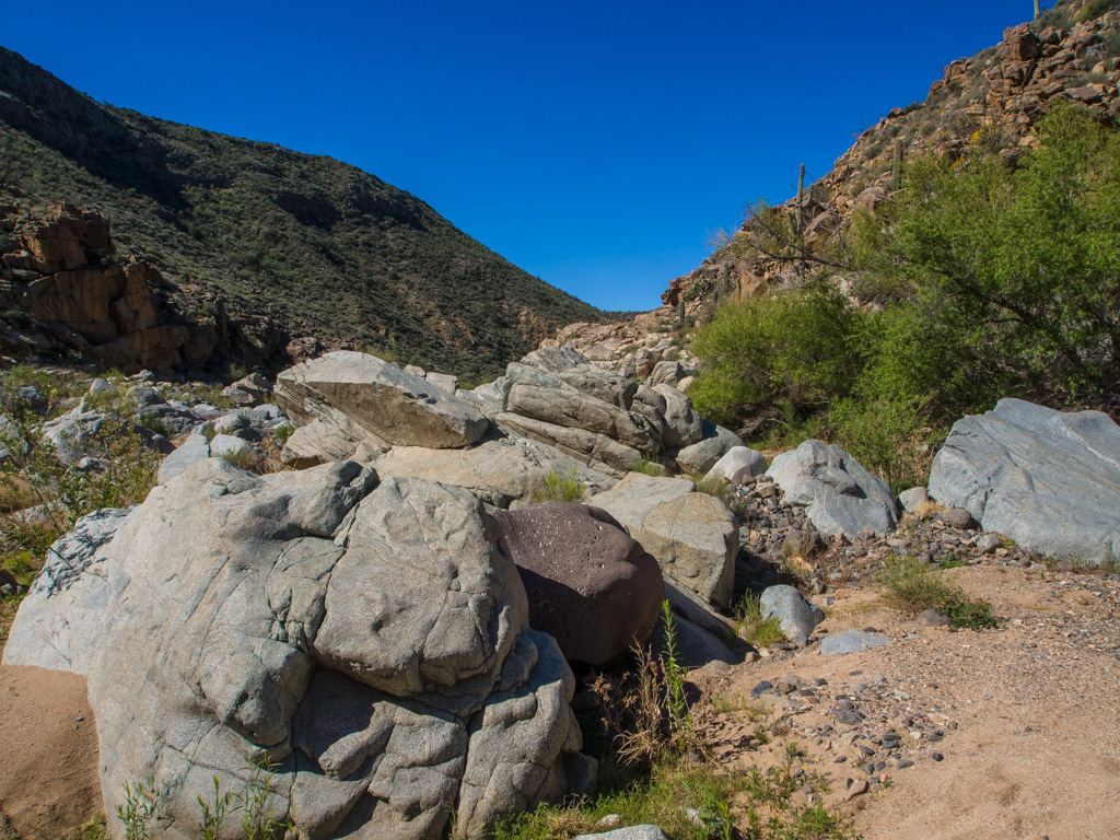
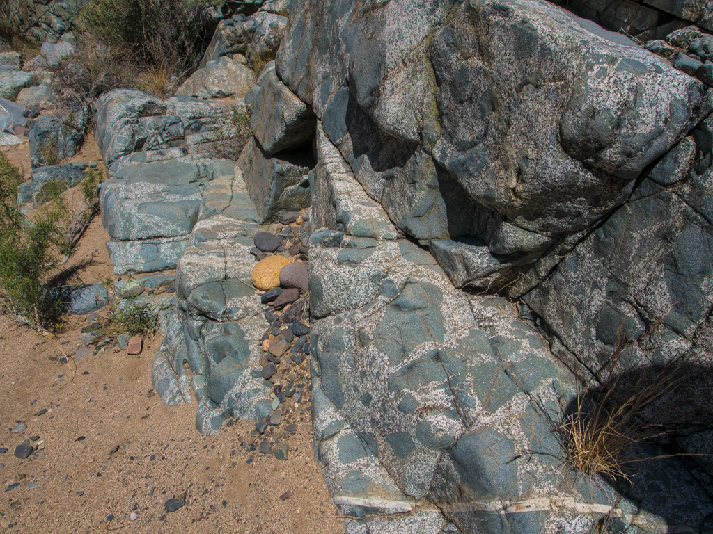
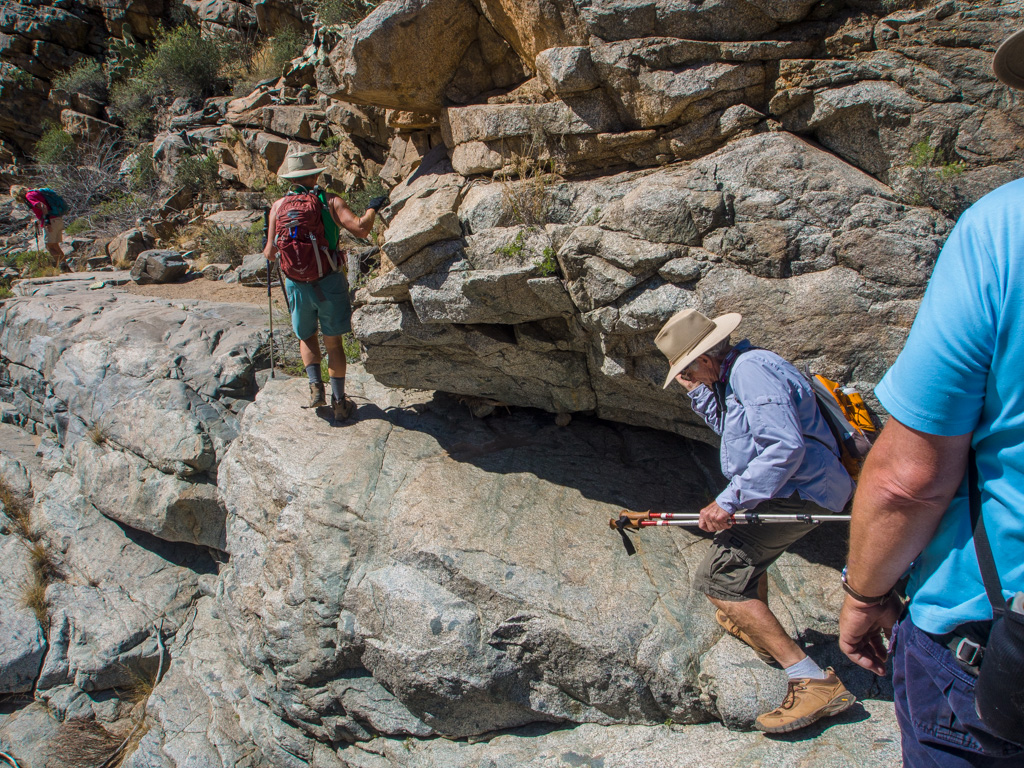
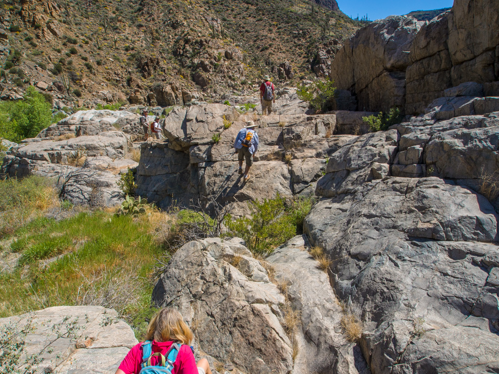
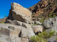
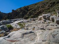
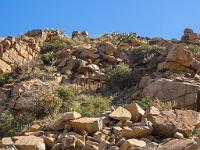
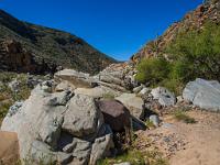
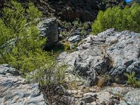
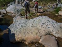
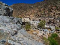
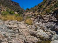
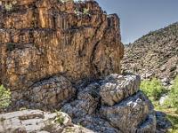
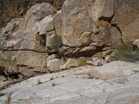
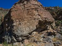
 24 Granite boulders become granite pavement... |
 25 |
 26 |
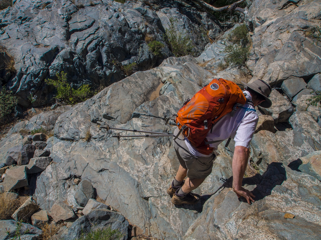
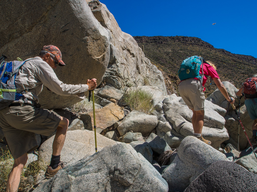
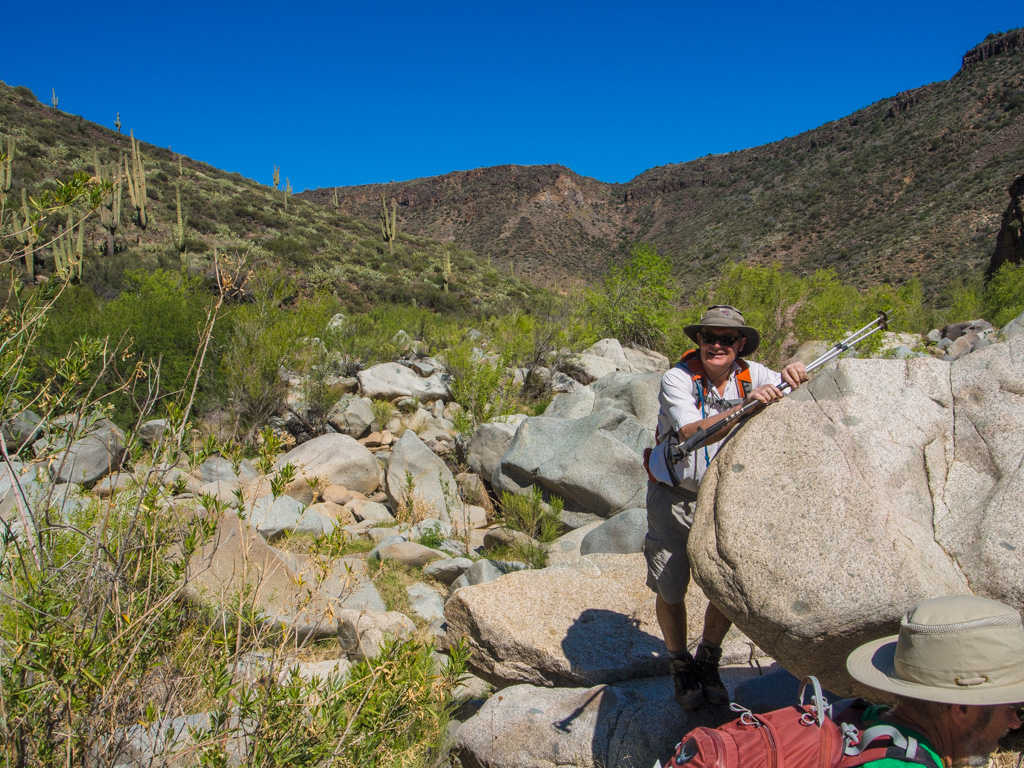
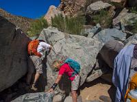
 27 ...which quickly becomes pavement with large boulders. The slippery granoite takes time to negotiate. |
 28 |
 29 Mesquite also starts here, which adds its scratchiness to the hike |
 30 |
 31 |
 32 Cholla cactus comes into view |
 33 |
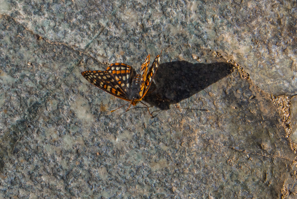
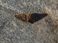 34 There is a lot of insect life along the river but oddly, few birds |
 35 |
 36 |
 37 |
 38 |
 39 |
 40 |
 41 |
 42 |
 43 |
 44 |
 45 |
 46 |
 47 |
 48 |
 49 |
 50 |
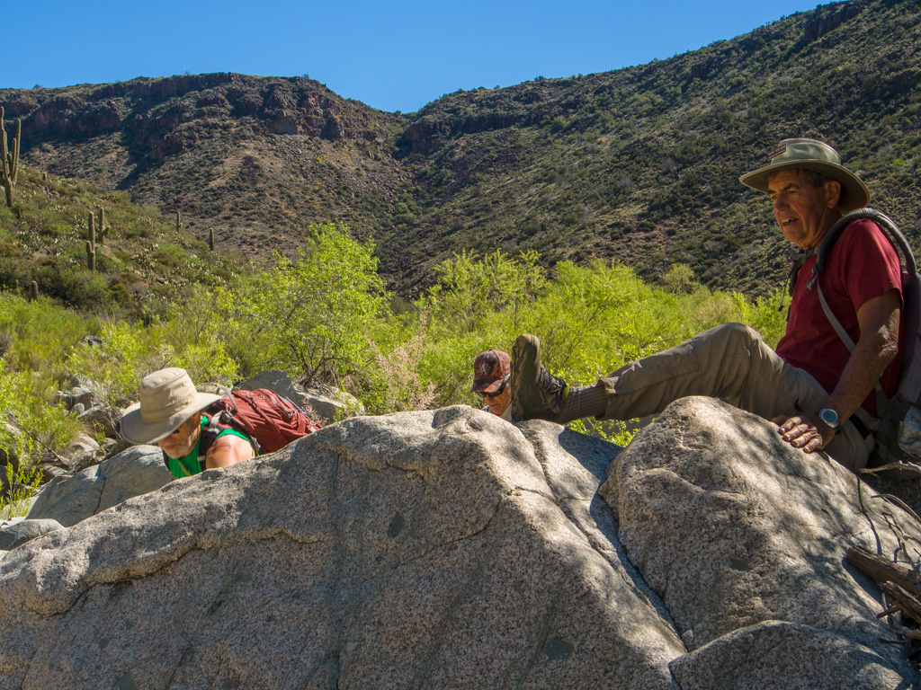
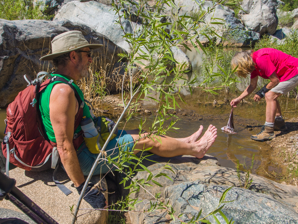
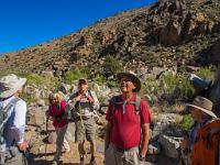
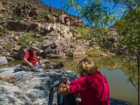
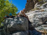
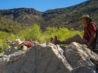 51 A rest stop |
 52 |
 53 |
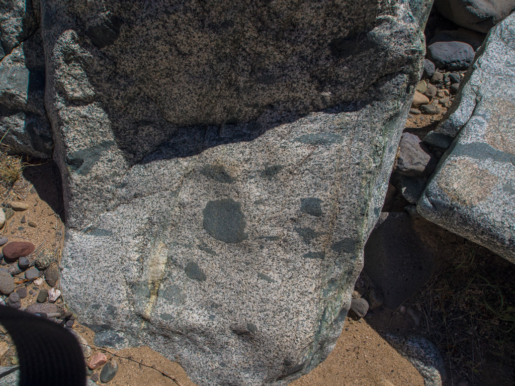
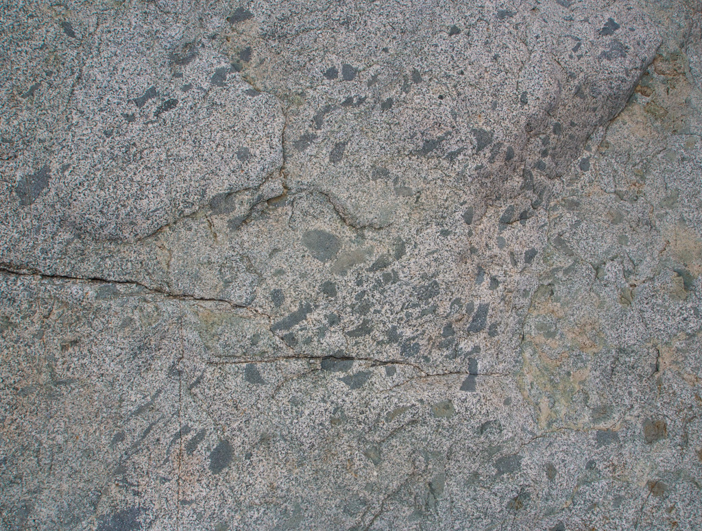
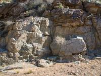
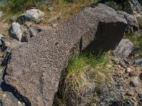
 54 Granite with xenolithic inclusions |
 55 |
 56 |
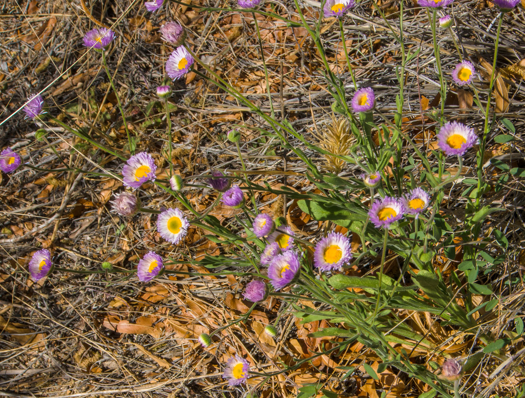
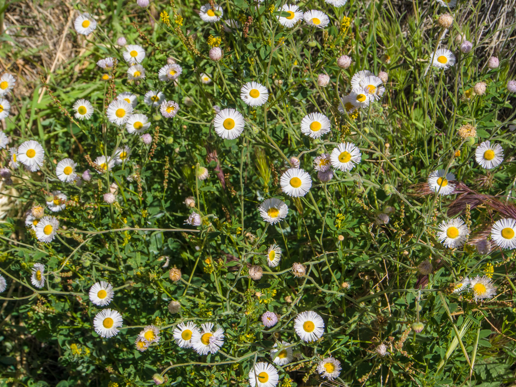
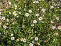
 57 Pink fleabane |
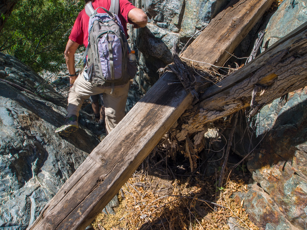
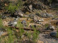
 58 Railroad ties were used as flume supports by a gold/silver mining operation on the rim of this canyon |
 59 |
 60 The mine's water supply was drawn off here. The flume is now abandoned, but substantial sections of the pipework remain. |
 61 |
 62 Accompanied by the mine pipe, we continue down the canyon |
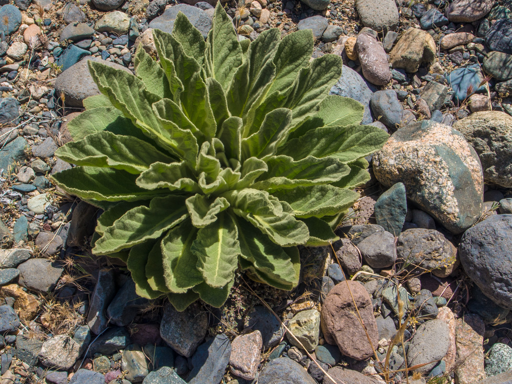
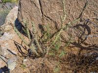
 63 A mullein |
 64 |
 65 |
 66 |
 67 |
 68 |
 69 |
 70 |
 71 White fleabane |
 72 |
 73 |
 74 |
 75 |
 76 |
 77 |
 78 |
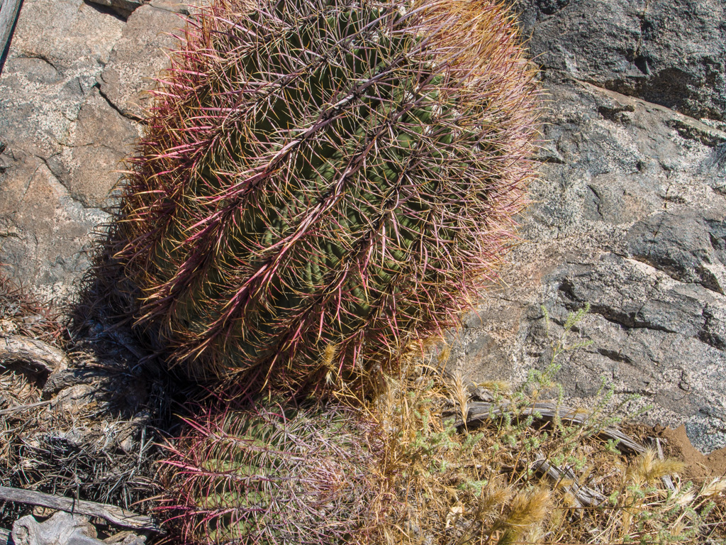
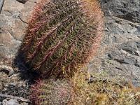 79 A barrel cactus |
 80 |
 81 |
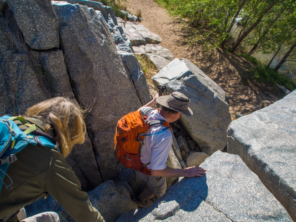
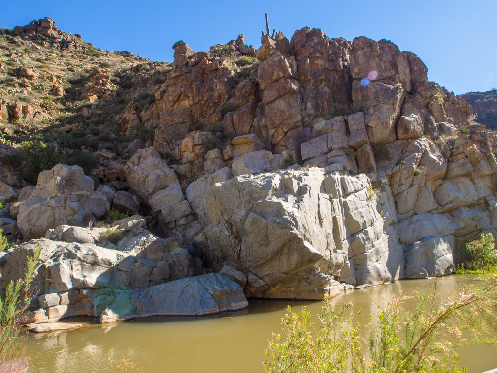
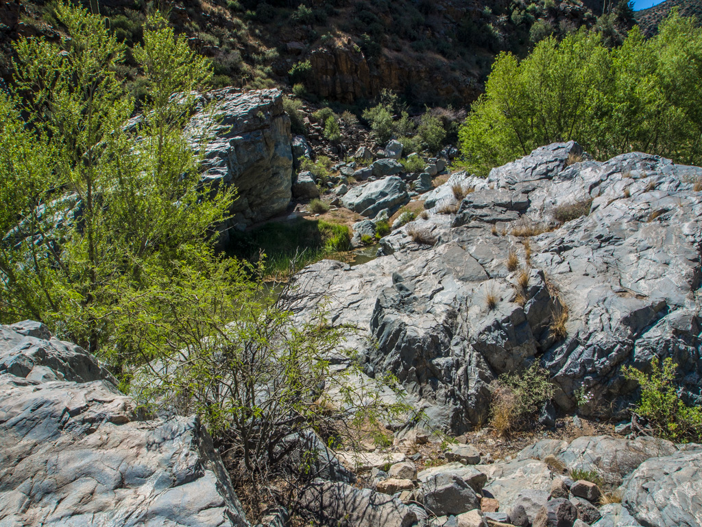
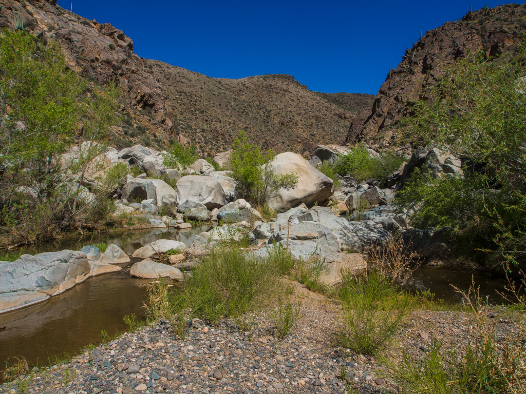
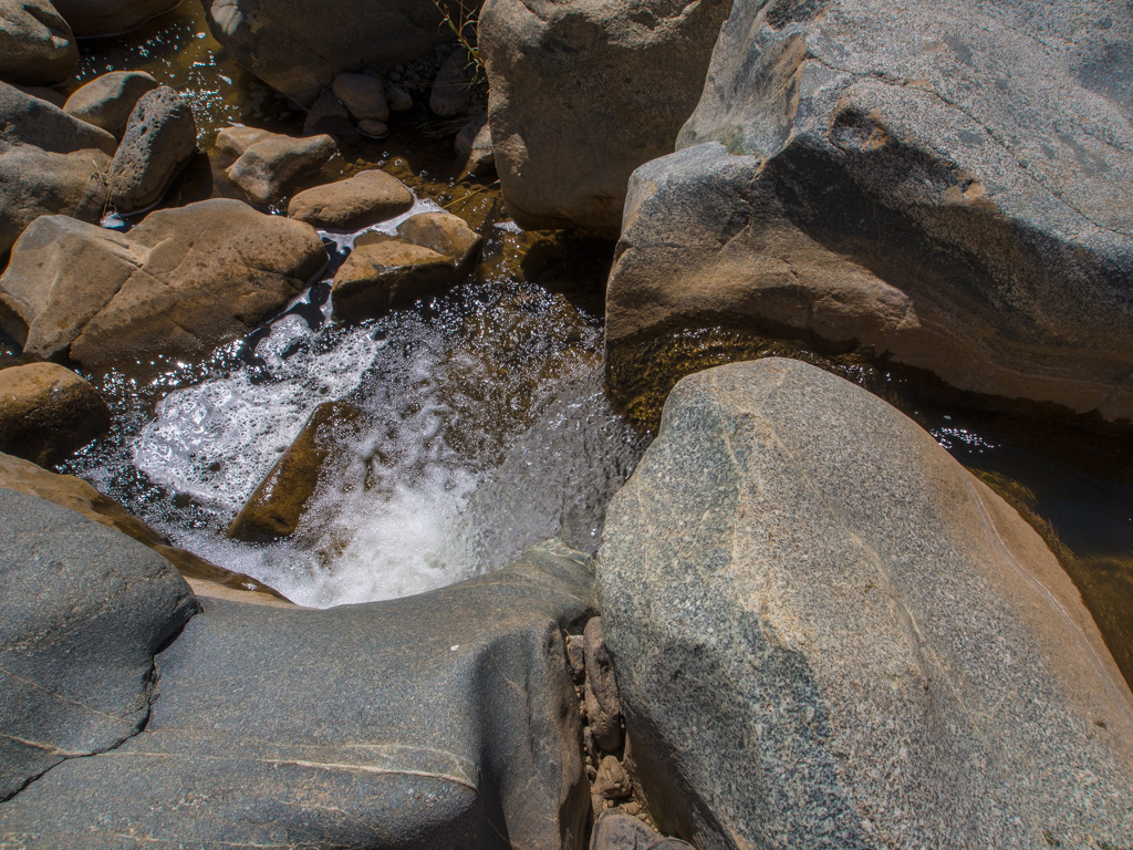
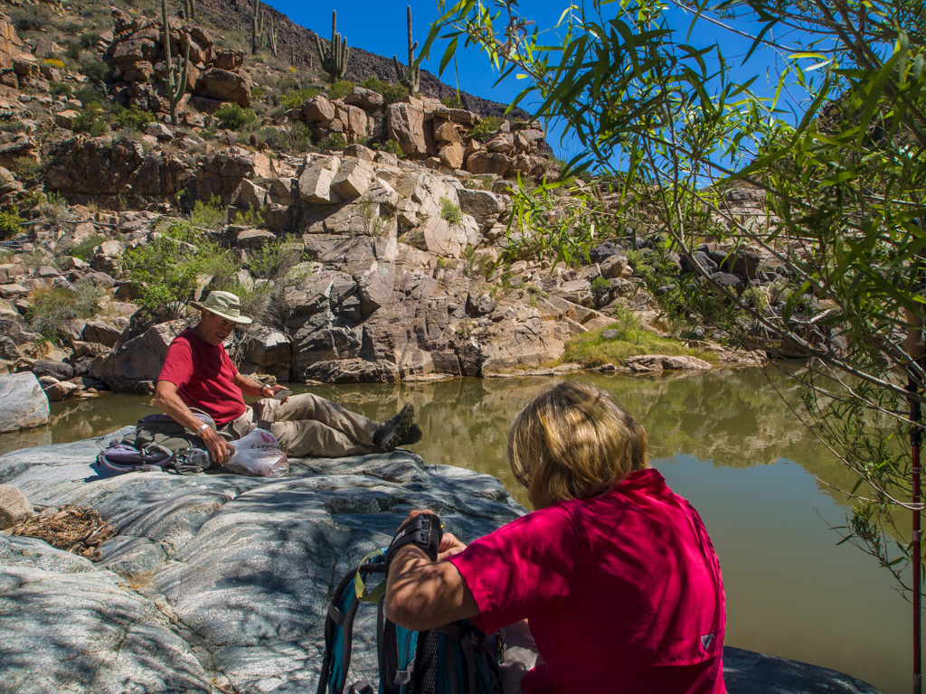
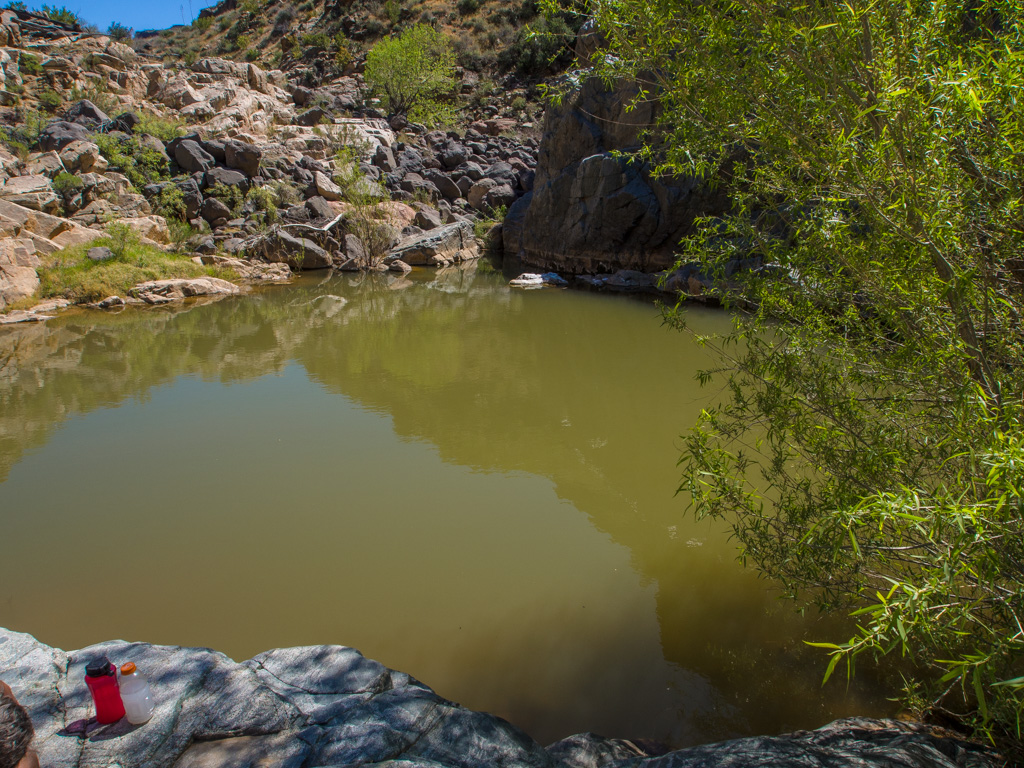
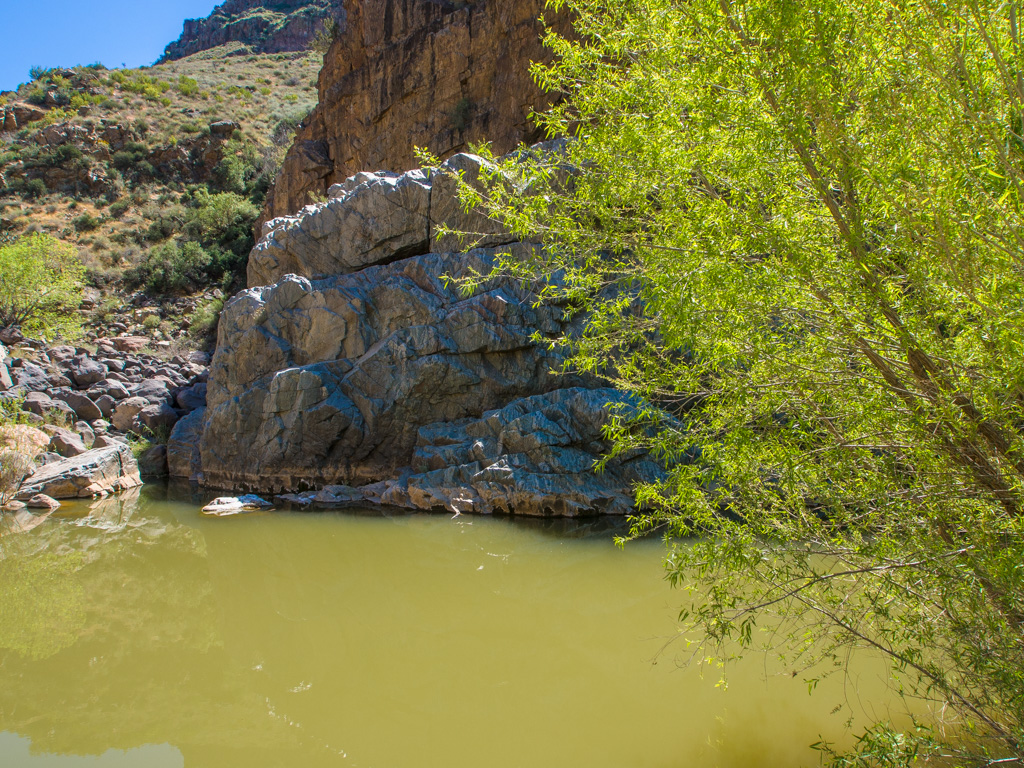
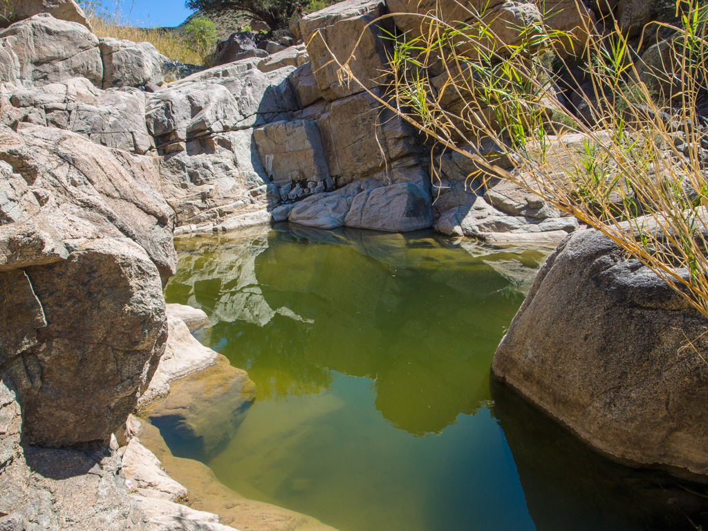
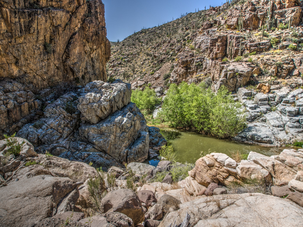
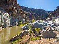
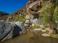
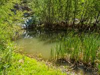
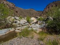
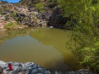
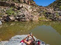
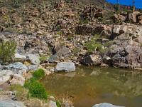
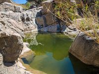
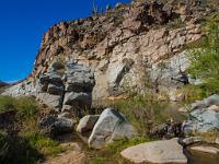
 82 At the end of the public trail, the river forms a large pool, then exits through a narrow slot to the right. This is where we stop for lunch. |
 83 |
 84 |
 85 |
 86 |
 87 |
 88 |
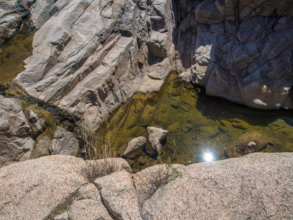
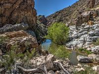 89 We make a side climb up the left wall of the pond to a smaller canyon above |
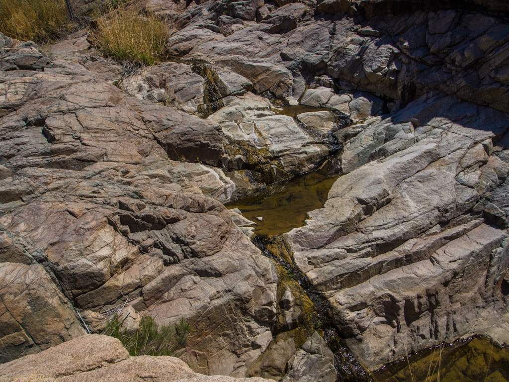
 90 It contains a small stream of its own |
 91 |
 92 |
 93 |
 94 |
 95 |
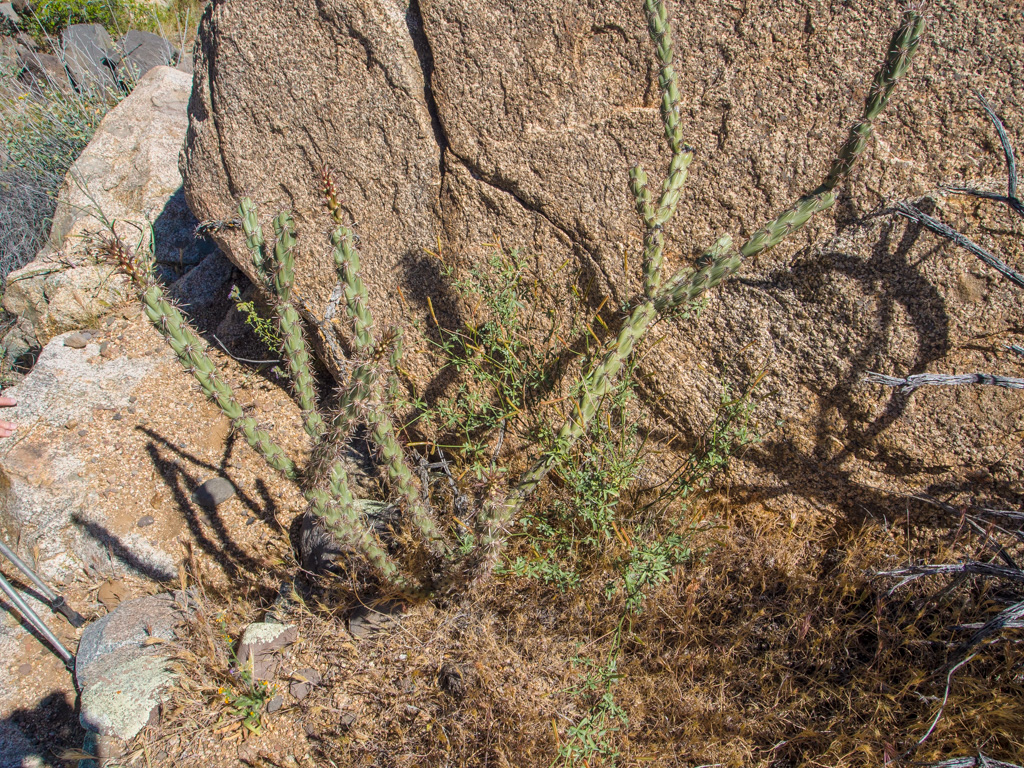
 96 Cholla cactus |
 97 |
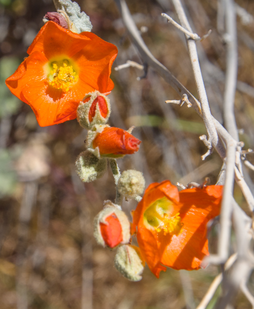
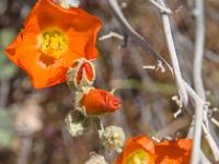 98 Globemallow |
 99 This is as far as we go in the side canyon |
 100 |
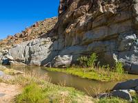
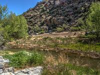
 101 Back down to the pond. The mining operation, with an accompanying ghost town, was on the opposite rim to the right. |
 102 |
 103 |
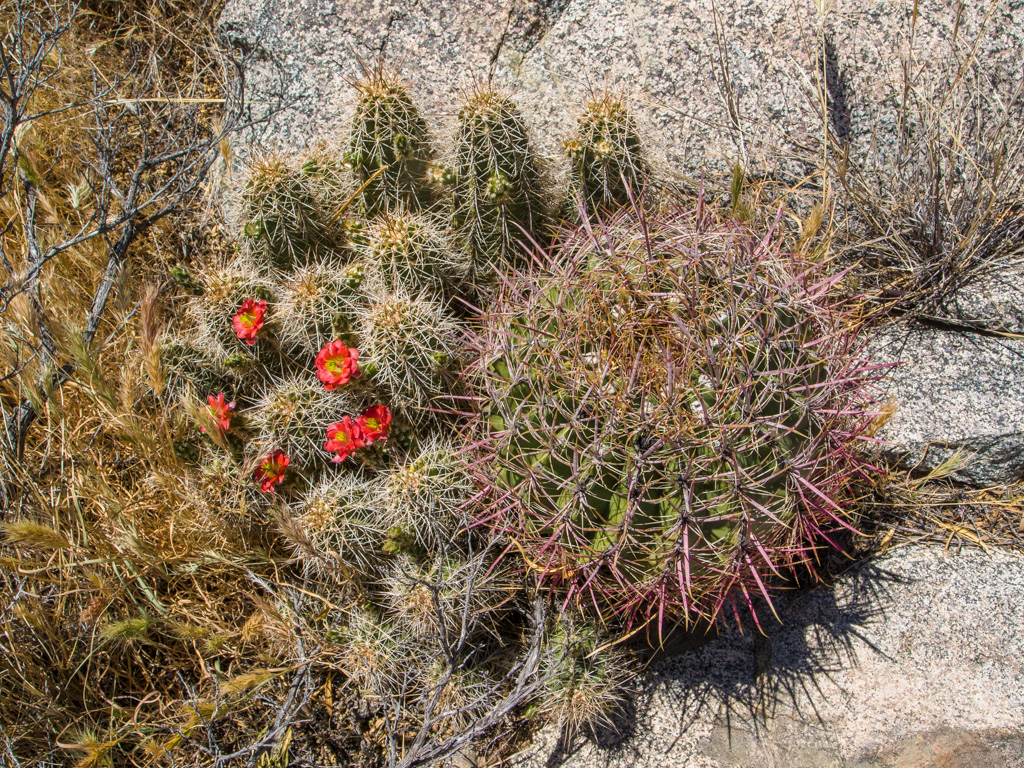
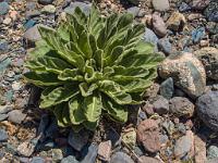
 104 A hedgehog in bloom, with a barrel cactus |
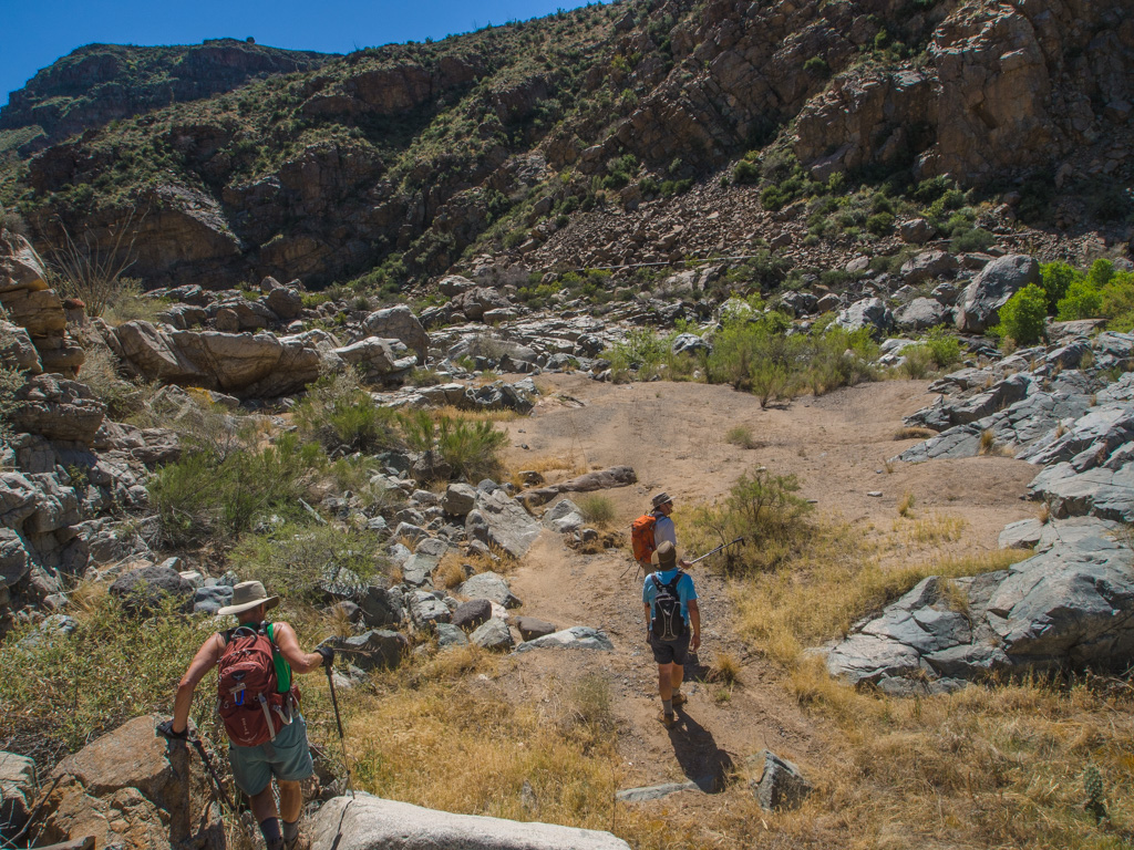
 105 Starting back up the canyon |
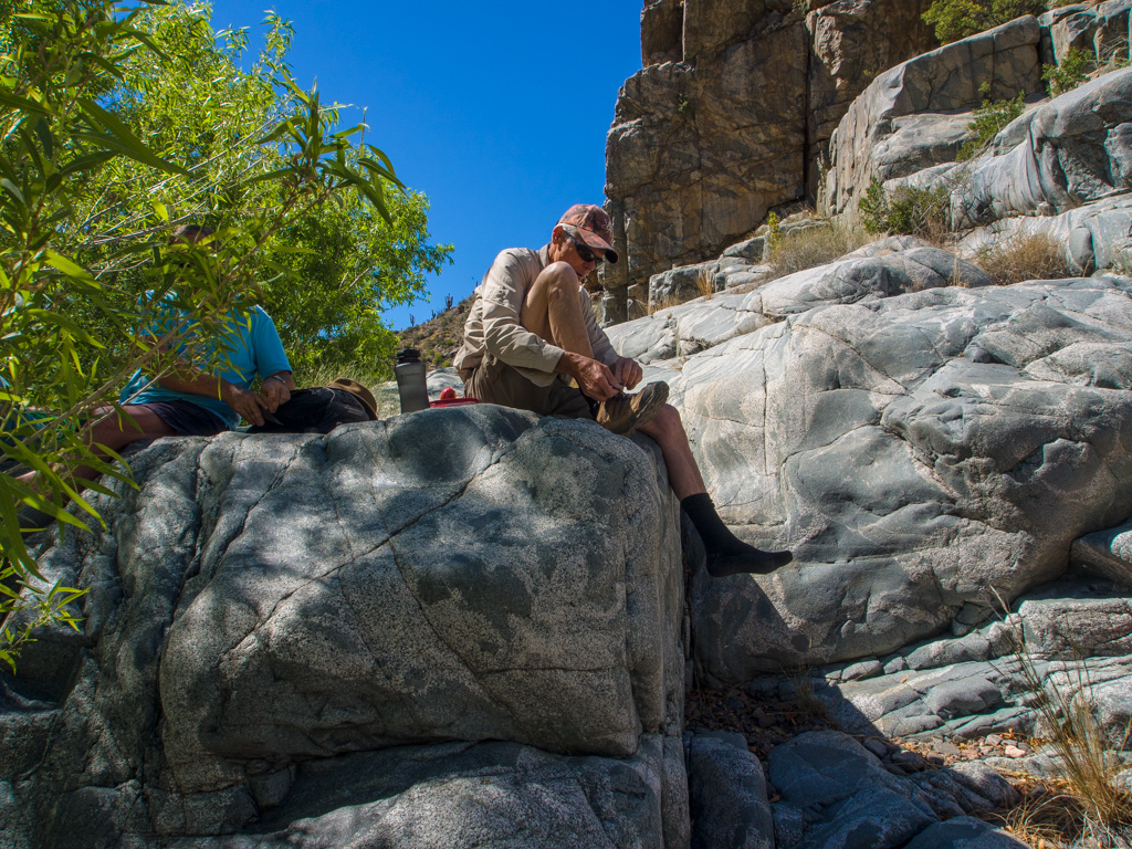
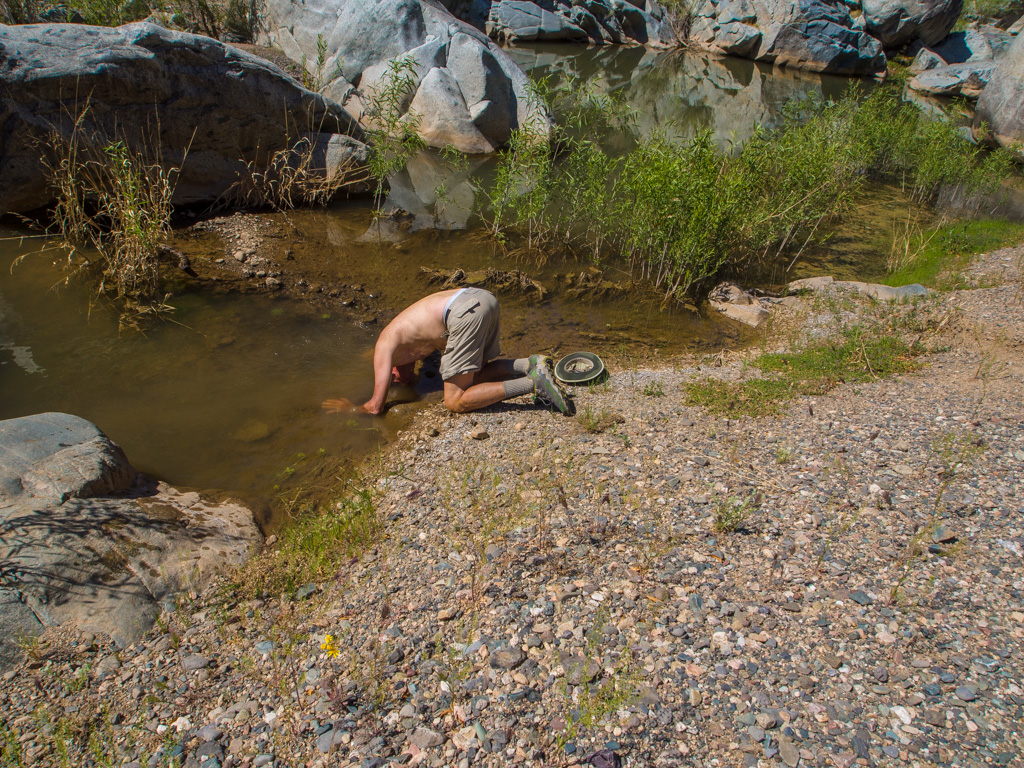
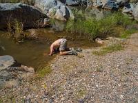 106 It's getting warm this time of day, so we welcome any chance to cool off |
 107 |
 108 |
 109 |
 110 Piers supporting the mine pipe |
 111 |
 112 |
 113 |
 114 |
 115 |
 116 |
 117 |
 118 |
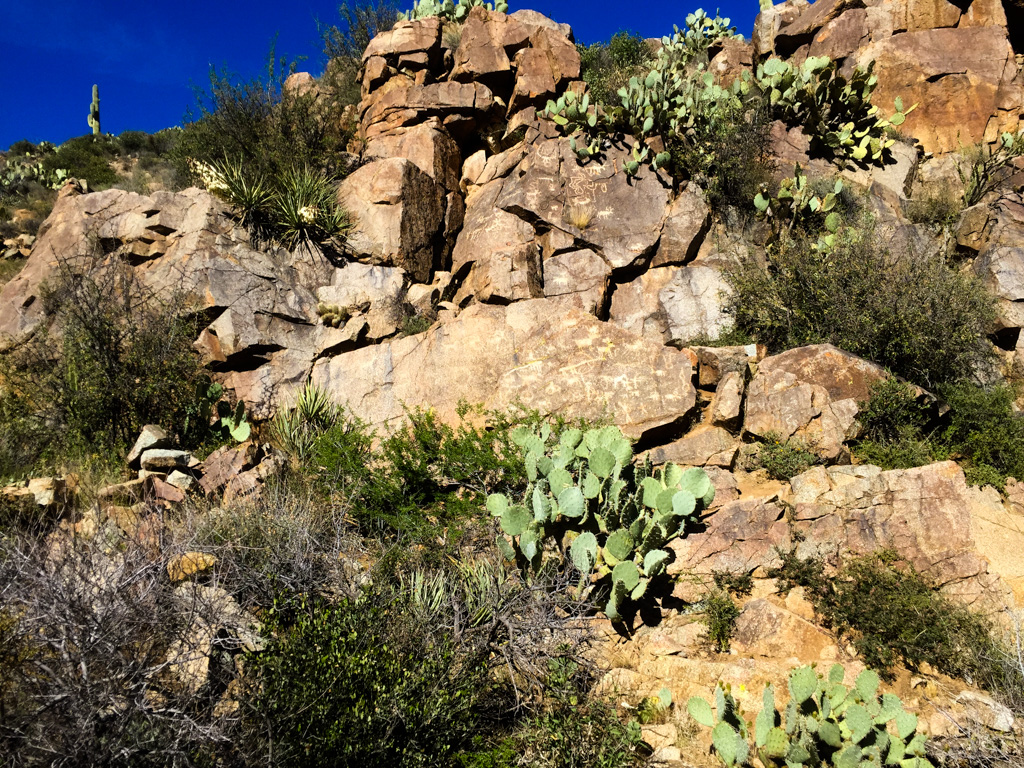
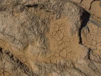
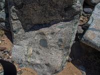
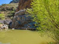
 119 We take a short side trip to see rock art... |
 120 ...up here |
 121 |
 122 There are more panels in the area, butthis is the only one we had time to visit |
| |